Et revoilà les cookies !
La plateforme digitale MOOVTOO utilise des cookies. Certains d’entre eux ont un but marketing et nous permettent de personnaliser les contenus, les offres et les services qui vous sont suggérés. D’autres sont juste là pour fluidifier votre navigation. Vous n’êtes pas obligé de tous les accepter ! Pour en savoir plus, consultez l’ensemble de notre politique d’utilisation des cookies. Consulter notre politique de confidentialité
beta
Boukaat Loubnan Trail: Anti-Lebanon Trail - Ras Baalbek El Fekhe
©
Credit: Boukaat Loubnan Trail
This section starts from the monastery of the miraculous Lady of Ras Baalbek. It heads towards the "Tniyyet al-Ras" valley, known as "al-Sayl" or the flood. Estimately, it is a straight 20-minute walk before sloping up all the way to the cliff of St. Nicholas (Mar Koulia), where the scenery is breathtaking, as the cliff overlooks the Western Mountain Range and the North Beqaa area. "Mar Koulia" is a cave perched on a cliff. It generates water from its rocks all year long. Locals believe that this water is sacred. From the cave, the trail continues to the East toward the mountains of "al-Fekhe" region and crosses the flood area of Wady Qattine before one last climb where the trail ends in "Wadi Sehta".

More information on Boukaat Loubnan Trail website.

Trail Highlight

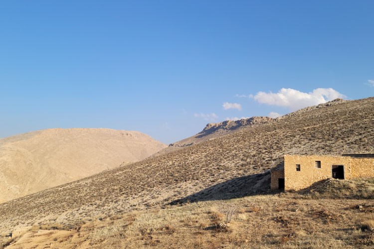
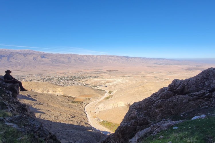
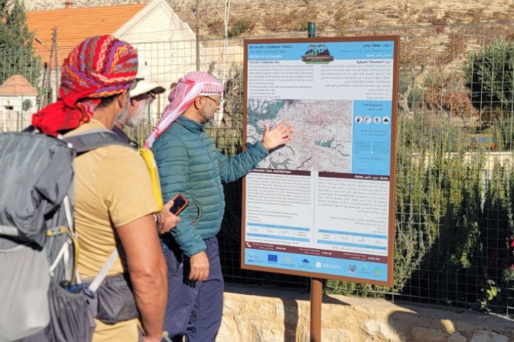
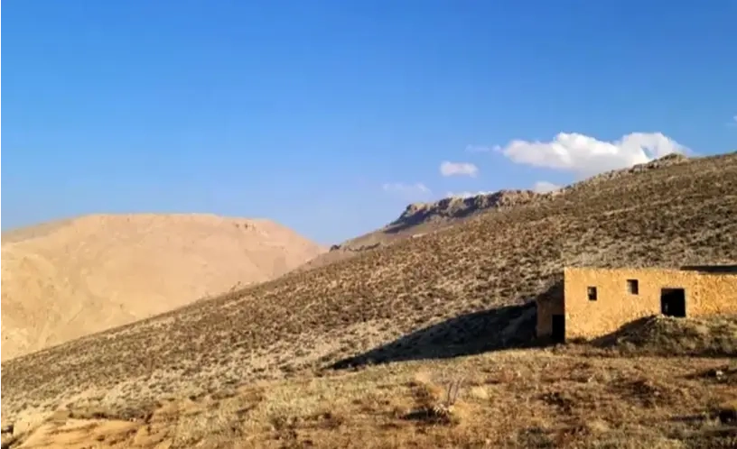
Notable features include the monastery of the Miraculous Lady of Ras Baalbek, the Mar Koulia cliff, the views over the Western and the Anti Lebanon Mountain Ranges, and the old route known as the Caravan Route. Once in the town, one can also plan a cultural tour in Ras Baalbek for a duration of three hours, where you can visit the Roman temples, the Monastery of the Miraculous  Lady, the old Pressoir, Mar Elian Church, Saint Thomas Church and other cultural and religious landmarks. Kindly note that these trails request a special permission from the Lebanese Army, which is only granted for Lebanese citizens with national IDs. Please call Boukaat Loubnan Trails to arrange you a guided hike. 

Commentaires (0)
+
Connectez-vous pour poster un commentaire
Proposée par
33 North
33 North
Emplacement du début du sentier
Ras Baalbek +
Baalbek District, Baalbek-Hermel Governorate
Liban
Caractéristiques du sentier
Distance:
11 KM
Niveau de difficulté:
Moderate
Durée:
4H
Ascension totale:
591 m
Descente totale:
504 m
Altitude Maximum:
1440 m
Altitude Minimum:
1000 m
À prévoir
Avoir avec soi de la crème solaire
Prendre un chapeau ou une casquette
Prendre une bouteille d'eau
Porter des chaussures confortables
Vêtement en fonction de la saison
Jumelles