Et revoilà les cookies !
La plateforme digitale MOOVTOO utilise des cookies. Certains d’entre eux ont un but marketing et nous permettent de personnaliser les contenus, les offres et les services qui vous sont suggérés. D’autres sont juste là pour fluidifier votre navigation. Vous n’êtes pas obligé de tous les accepter ! Pour en savoir plus, consultez l’ensemble de notre politique d’utilisation des cookies. Consulter notre politique de confidentialité
beta
Boukaat Loubnan Trail: North-Beqaa Trail - Hermel To Kornet El Ashra
©
Credit: Boukaat Loubnan Trail
Standing at an altitude of 2888 meters, Kornet El Aashra is the highest summit in Dinniyeh, Lebanon. Starting from Ain Al Bayda, the climb consists of ten small hills that lead up to the main peak, or Kornet El Aashra. Ain Al Bayda is located at the highland route, which is paved, and which connects the Hermel highland to the Dinniyeh region. Ain Al Bayda is in fact a drinkable water source.

More information on Boukaat Loubnan Trail website.

Trail Highlight

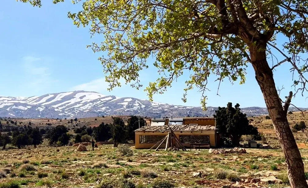
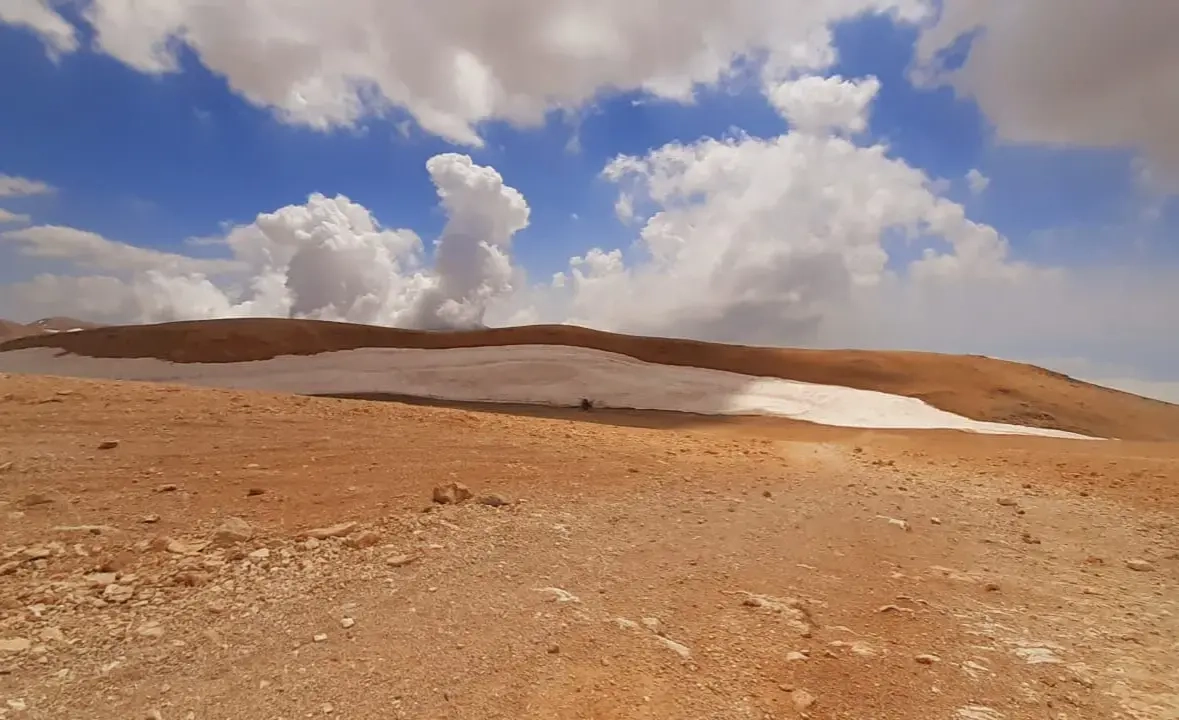
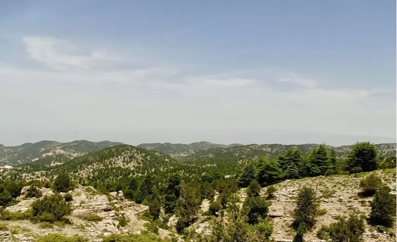
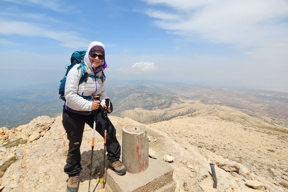
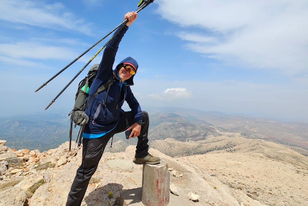
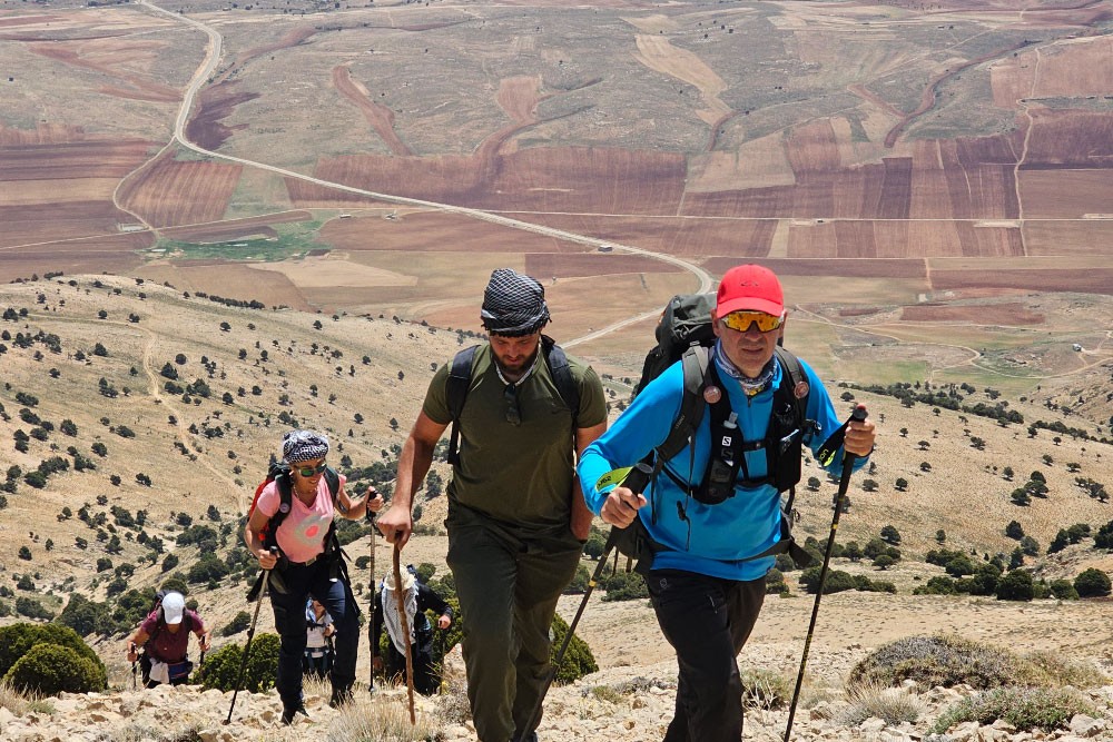
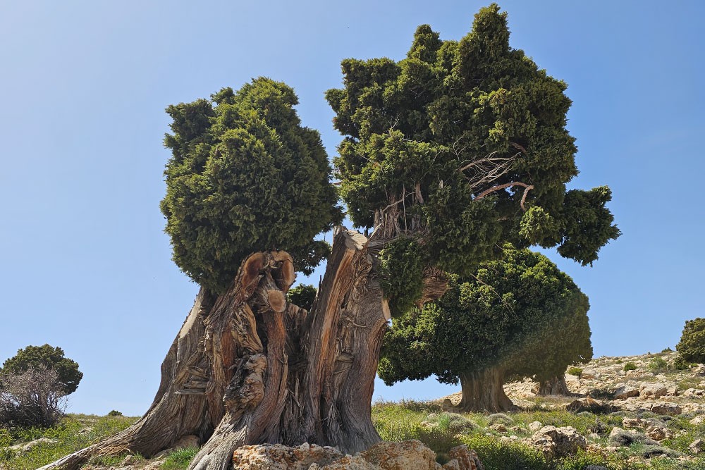
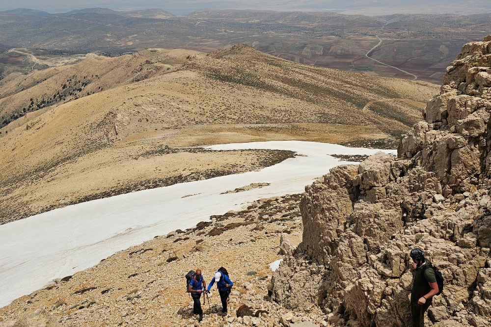
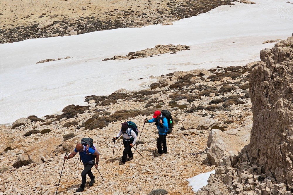
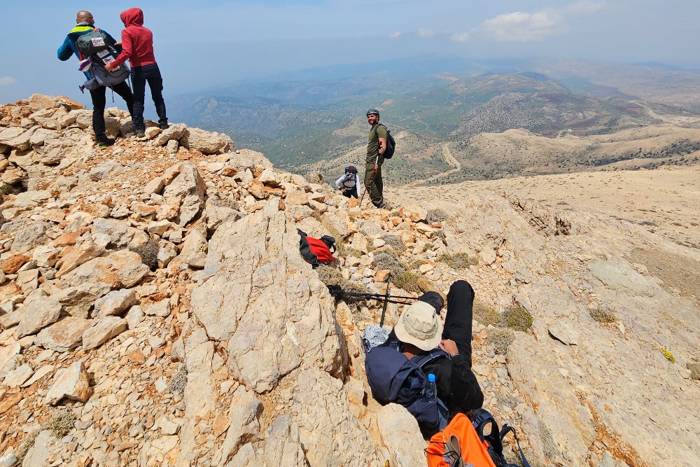
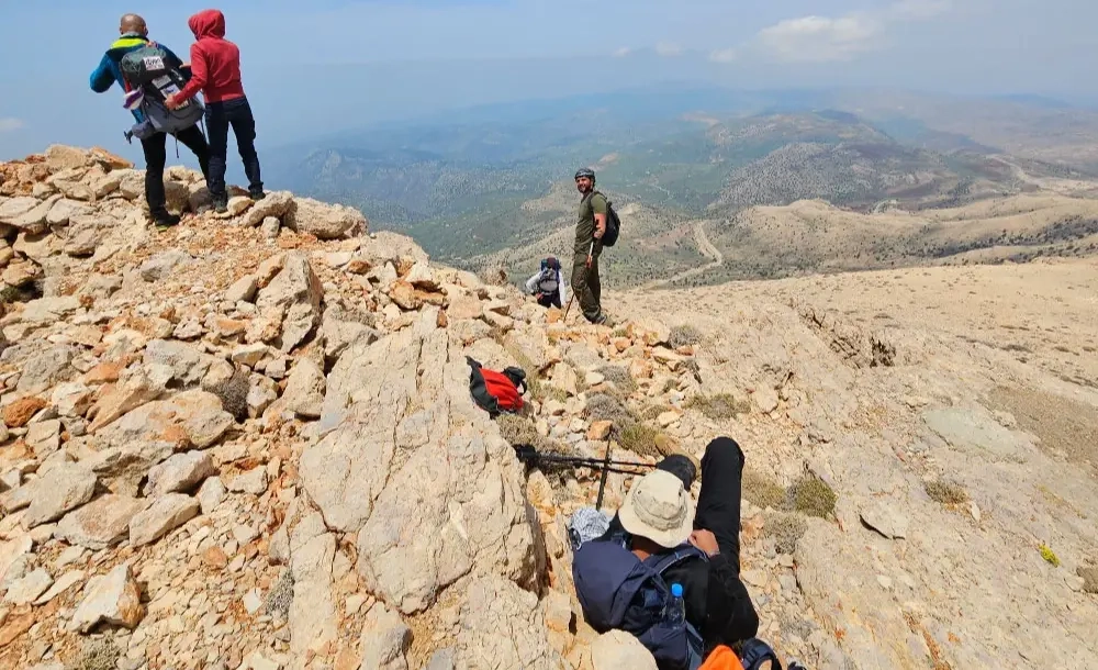
This climb is all about its scenery. You can’t help but fall in love with the beauty of Lebanon’s nature as you gaze to your right and left. As hikers climb on and on, they will be rewarded by the views of the North Bekaa high plateau, the Hermel high plateau, and the Anti-Lebanon mountain range on one side. The highest summit of Akkar called Orouba can be seen from the other side. The Lebanese Akkar coast can also be seen in addition to the Syrian coast. This trail also crosses the most splendid and biggest juniper trees in Lebanon. An extra bonus is that hikers may climb to Qornet Al-Sawda once they reach this trail’s summit.  We highly recommend to call Boukaat Loubnan Trails to ensure that you get guided by a local guide from the region. This section is also suitable as a winter destination. Back-country skiers and snowshoers can extend their stay at the Lazzab Lodge and enjoy snow hikes in the area. Once in Hermel it is worth extanding the stay to visit the Brissa Babylonean inscriptions, Qamouu el Hermel, Mar Maroun on the Assi river, venture into a rafting activity and enjoy fresh trout fish. 

Commentaires (0)
+
Connectez-vous pour poster un commentaire
Proposée par
33 North
33 North
Emplacement du début du sentier
Ain El Bayda Region
Hermel District, Baalbek-Hermel Governorate
Liban
Caractéristiques du sentier
Distance:
9 KM
Durée:
7H
Niveau de difficulté:
Advanced
Ascension totale:
732 m
Descente totale:
732 m
Altitude Maximum:
2888 m
Altitude Minimum:
2186 m
À prévoir
Avoir avec soi de la crème solaire
Prendre un chapeau ou une casquette
Prendre une bouteille d'eau
Porter des chaussures confortables
Vêtement en fonction de la saison
Chaussures de marche
Jumelles