Et revoilà les cookies !
La plateforme digitale MOOVTOO utilise des cookies. Certains d’entre eux ont un but marketing et nous permettent de personnaliser les contenus, les offres et les services qui vous sont suggérés. D’autres sont juste là pour fluidifier votre navigation. Vous n’êtes pas obligé de tous les accepter ! Pour en savoir plus, consultez l’ensemble de notre politique d’utilisation des cookies. Consulter notre politique de confidentialité
beta
Boukaat Loubnan Trail: North-Beqaa Trail - Yamouneh To Ainata
©
Credit: Boukaat Loubnan Trail
This section extends from the town of Yammouneh to Ainata. It crosses the area of Al Awja, a woodland covered mainly by aok trees, and a winter destination for local shepherds. From Al Awja, the trail follows the back of the mountain and passes the Churches of Saint Georges and Saint Peter and Paul. From the church of Saint Peter and Paul, the trail continues to Mrah Bou Younes and Mrah Maroun, then going down and crossing the Mshaytiyeh Village main road and starts the climb towards Kornet Bayt Latouf. From Kornet Bayt Latouf the trail goes down through Wade el Khayl and end in Ainata village.

More information on Boukaat Loubnan Trail website.

Trail Highlight

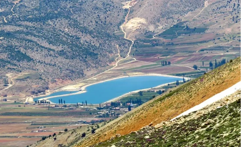
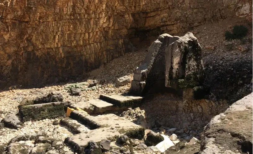
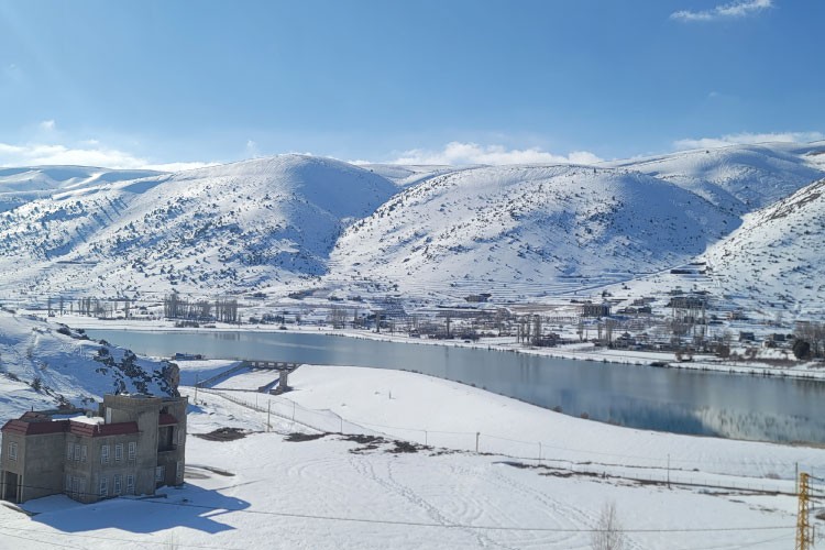
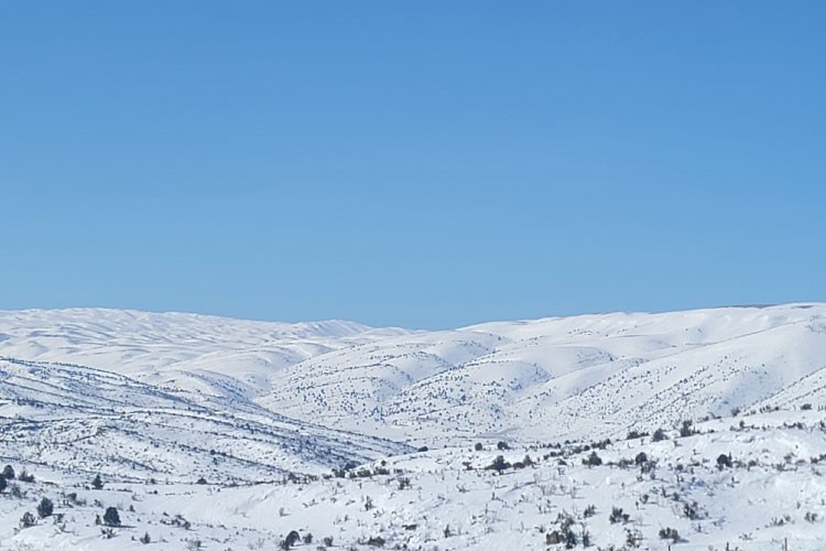
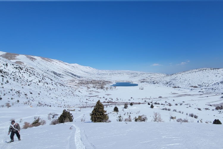
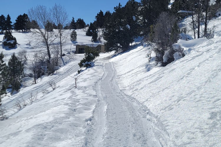
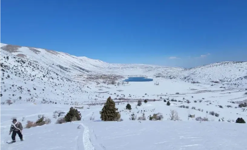
Classified as a nature reserve since 1999, the Yammouneh protected reserve is a peaceful destination with incredible history. It is believed that an array of ancinet civilizations have passed through this place, including Phoenician, Roman, and Arab. This section also offers majestic views on the banks of the Yammouneh lake and over the Makmel Mountain Range. Once in Yammouneh, hikers can enjoy a walk around the lake, visit the Nabee el Arabiine water spring, and taste fresh trout fish from the lake. In Summer, hikers may also get the chance to participate in agrotourism activities, such as apple picking, and food provision production, or "mouneh making", with the households of Yammouneh. Additionally, the woodland of Al Awja is in itself a beautiful landmark thanks to its scattered juniper trees.

Commentaires (0)
+
Connectez-vous pour poster un commentaire
Proposée par
33 North
33 North
Emplacement du début du sentier
Yammouneh +
Baalbek District, Baalbek-Hermel Governorate
Liban
Caractéristiques du sentier
Distance:
22 KM
Durée:
6H
Niveau de difficulté:
Moderate
Ascension totale:
649 m
Descente totale:
553 m
Altitude Maximum:
1687 m
Altitude Minimum:
1380 m
À prévoir
Avoir avec soi de la crème solaire
Prendre un chapeau ou une casquette
Prendre une bouteille d'eau
Porter des chaussures confortables
Vêtement en fonction de la saison
Chaussures de marche
Jumelles