Votre choix relatif aux cookies sur le site MOOVTOO.COM
Afin d’améliorer votre expérience sur MOOVTOO, nous utilisons des cookies. Certains cookies sont indispensables pour assurer une expérience utilisateur agréable et fluidifier votre navigation sur le site. D’autres sont facultatifs : utilisés dans un but marketing, ils nous permettent de conserver certaines informations de connexion (contenu de panier, pages visitées...), notamment pour vous proposer des contenus et services correspondants à vos centres d'intérêt. Vous pouvez choisir de refuser certains cookies : paramétrez vos choix selon les différentes catégories de cookies, puis cliquez sur Valider. Vous pourrez à tout moment modifier ce choix et consulter l’ensemble de notre politique de traitement des données personnelles à partir de cette page :
Données personnelles
Analyse des données
Nous utilisons ces cookies pour suivre et analyser votre navigation sur le site et la manière dont vous l’utiliser. Ils nous permettent de mesurer la performance de la plateforme, d’optimiser les contenus et la navigation, et d’améliorer la qualité des services proposés
Personnalisation de nos offres
Nous utilisons ces cookies pour personnaliser les bannières publicitaires publiées sur MOOVTOO, mais aussi les emails que nous vous adressons en fonction de votre navigation sur le site (relance suite à un panier abandonné, par exemple, ou à la consultation d’une offre spécifique).
Publicité sur des media tiers
Ces cookies nous permettent d’afficher sur des sites et media online externes à MOOVTOO du contenu publicitaire faisant la promotion de MOOVTOO et correspondant à vos centres d’intérêt.
Et revoilà les cookies !
La plateforme digitale MOOVTOO utilise des cookies. Certains d’entre eux ont un but marketing et nous permettent de personnaliser les contenus, les offres et les services qui vous sont suggérés. D’autres sont juste là pour fluidifier votre navigation. Vous n’êtes pas obligé de tous les accepter ! Pour en savoir plus, consultez l’ensemble de notre politique d’utilisation des cookies.
Consulter notre politique de confidentialité
Ce site est une version Bêta, en cours d’amélioration. Il n’est donc pas complet : certains contenus doivent encore être ajoutés, et les parcours utilisateur optimisés.
La mise en ligne de cette version Bêta nous permet de tester le site et de recueillir les commentaires (constructifs !) de la part de ses visiteurs, afin de lancer une première version aboutie de MOOVTOO.
x
beta
LMT Section 10: From Tannourine el-Faouqa to El Aaqoura
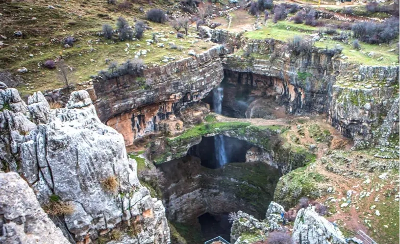
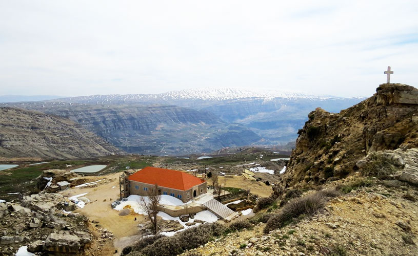
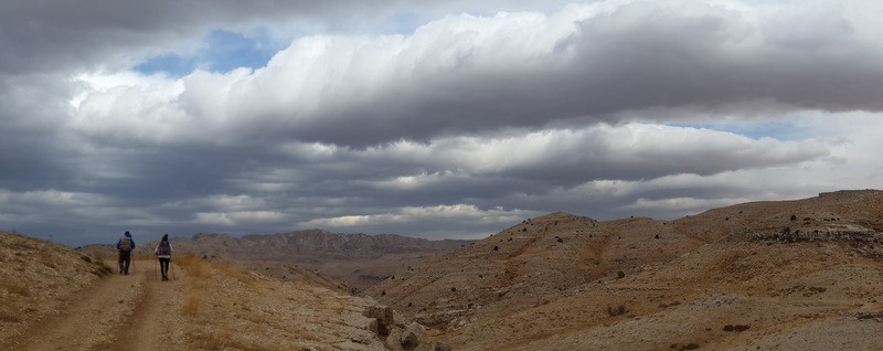
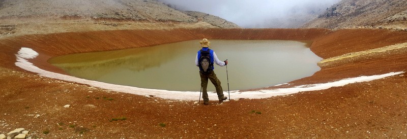
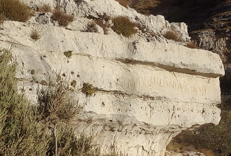
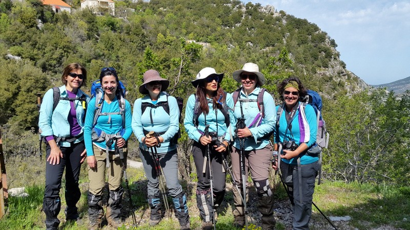
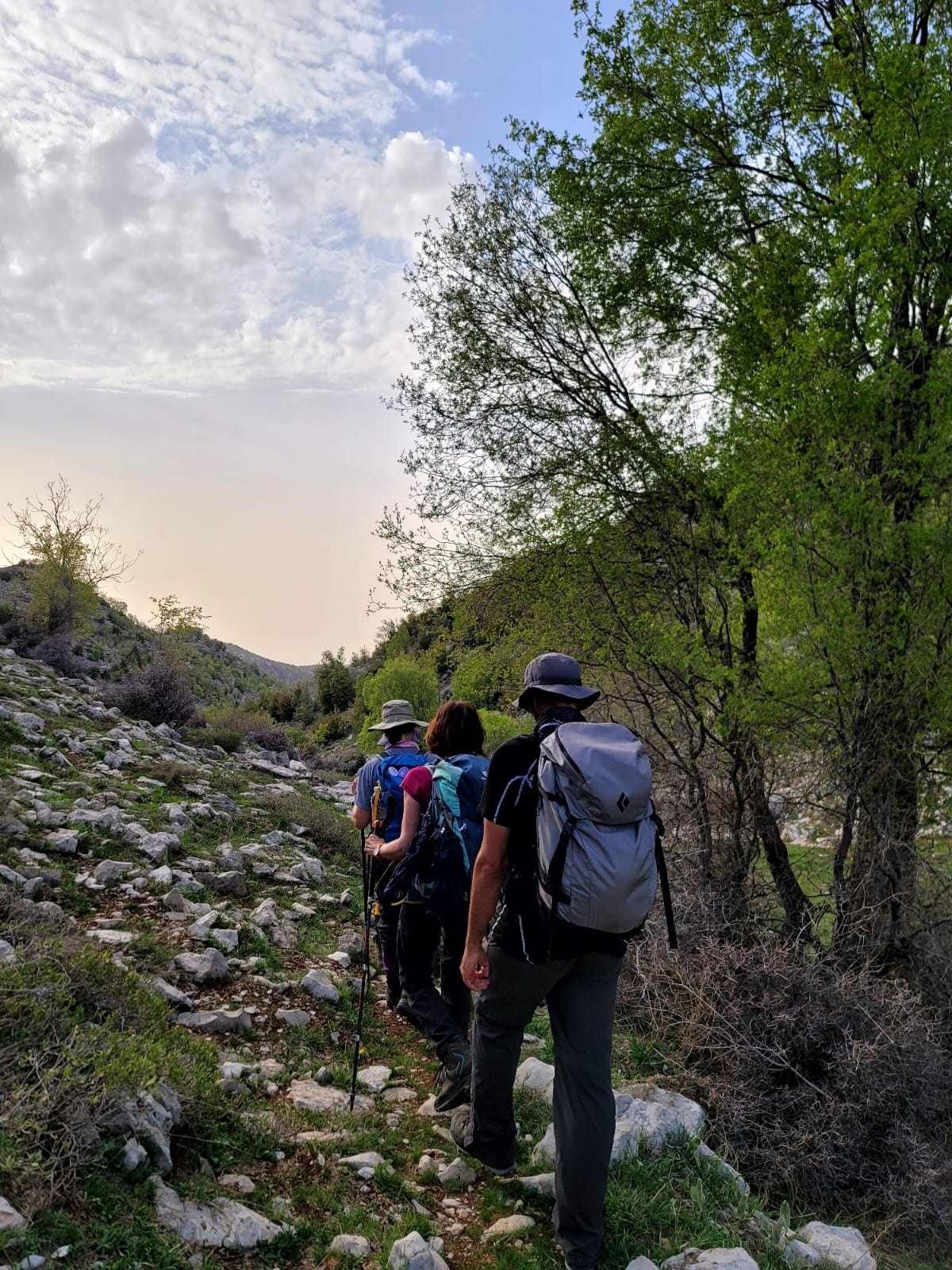
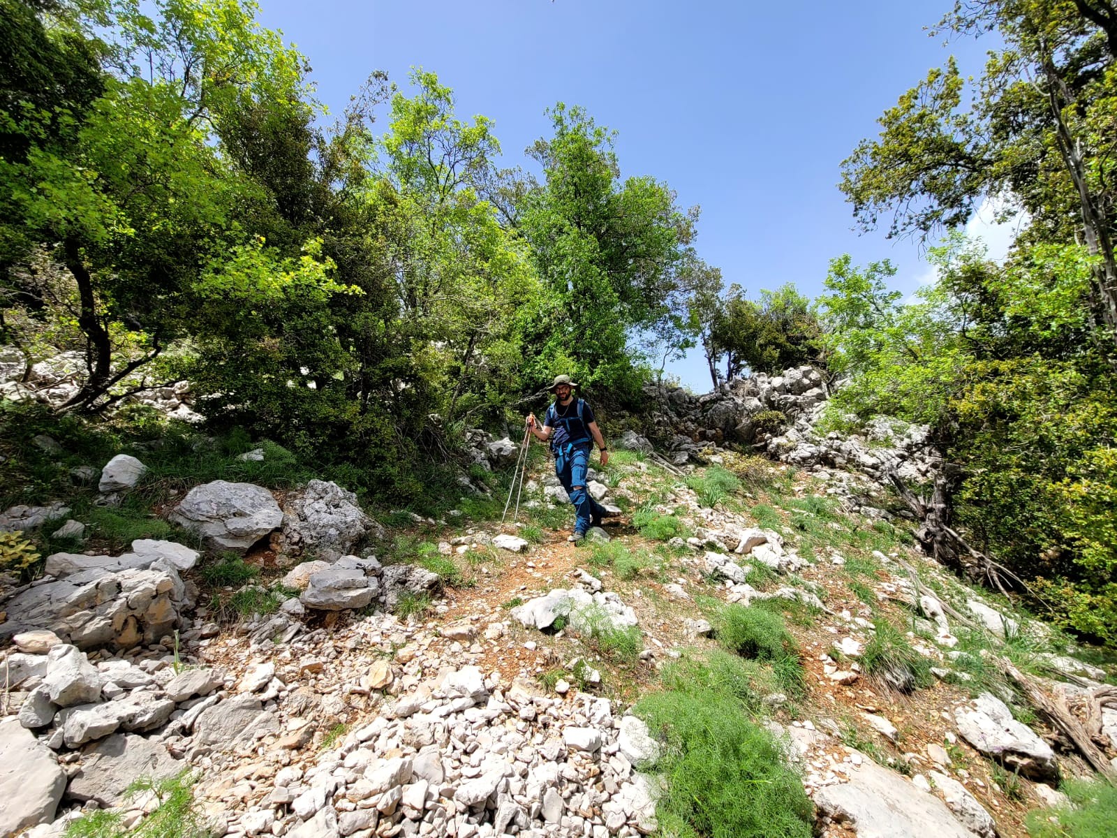
From the main square, start off in the direction of el Aaqoura village and then walk downhill to reach the main paved road. Continue on and take a left turn towards the bridge and the water mill and then follow the footpath near the stream along a concrete water canal until you reach another water mill. Take the sandy dirt road and continue along the cleared footpath before starting to climb towards Chatine village. When you reach it, cross the main square and follow the paved road but make sure you leave it after a short distance and head for a cleared footpath that goes down to the valley, before climbing back up the other side. The path crosses the stream again and then climbs towards the Baatara sinkhole. After visiting the site, continue towards Nabaa el Cheikh spring after crossing the main paved road then take the foot path facing the dam and climb up towards el Laqlouq, you will reach the paved road than a hill lake and a huge, but dry, stone built water reservoir. Take the dirt road which passes by Saydet Zwila and then cross onto the paved road which becomes a dirt road until you arrive near Ain el Bared spring. Continue towards the Saydet el Qarn saddle at which point you turn left onto a dirt road reaching the highest elevation on the LMT and start walking down the valley of Ain el Debb spring. This section ends at the paved road where you can continue on towards section 11 or leave for el Aaqoura village.
Étapes & points d'intérêt
Explore the different points of interest along the trail.