Et revoilà les cookies !
La plateforme digitale MOOVTOO utilise des cookies. Certains d’entre eux ont un but marketing et nous permettent de personnaliser les contenus, les offres et les services qui vous sont suggérés. D’autres sont juste là pour fluidifier votre navigation. Vous n’êtes pas obligé de tous les accepter ! Pour en savoir plus, consultez l’ensemble de notre politique d’utilisation des cookies. Consulter notre politique de confidentialité
beta
LMT Section 3: From el Qemmamine to Kfar Bebnine
The trail in this section of the LMT is mostly made of footpaths along forested hillsides. It is accessible all year long, but you might not meet many people along the way, except in el Qemmamine at the start and Kfar Bebnine at the end of the section, this area being remote; it is very likely though that you find some shepherds on the way.

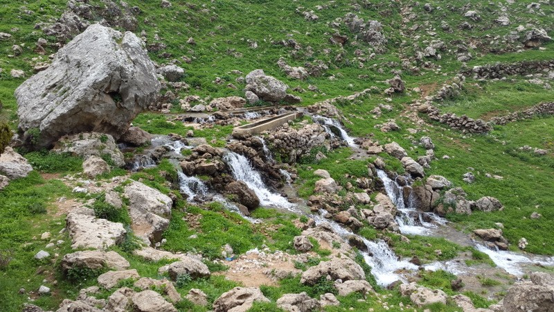
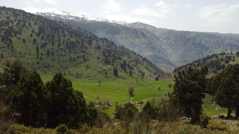
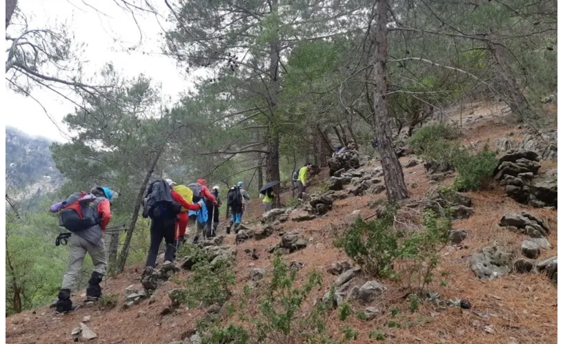
The dramatic Jehannem valleys (وادي جهنم) with its deep gorges and high peaks, oak, juniper and brutia pine forests are the main highlights. There's one permanent spring at the middle of the trail.

Walk from Ain el Qemmamine spring along the dirt road towards the pine forest and then start the climb on the footpath until you reach the cliff which overlooks the village. From there, take the footpath to the right towards the dirt road. Before you pass by a concrete water reservoir start climbing towards a juniper forest.

After the forest, continue until you reach a dirt road and walk along it for a short distance before leaving it on your left as you go towards Tell Chima plain. Continue on the cleared footpath toward Ouadi Sirri until you reach Nabaa Ras el Ain spring. Then walk along the water canal and start your climb towards Tallet Hankoufa hill with its abandoned ruined site. From this point, walk downhill along a cleared footpath until you reach the paved road to Kfar Bebnine village. At the info panel, you can either leave the village or continue on towards Bqaa Sefrine.

Étapes & points d'intérêt
From el Qemmamine to Kfar Bnine
 Explore the different points of interest along the trail.
Commentaires (0)
+
Connectez-vous pour poster un commentaire
Emplacement du début du sentier
Qemmamine +
Miniyeh-Danniyeh District, North Governorate
Liban
Caractéristiques du sentier
Distance:
10.1 KM
Ascension totale:
918m
Descente totale:
568m
Durée:
4h30m
Niveau de difficulté:
Very Difficult
À prévoir
Prendre un chapeau ou une casquette
Prendre une bouteille d'eau
Porter des chaussures confortables
Vêtement en fonction de la saison
Chaussures de marche