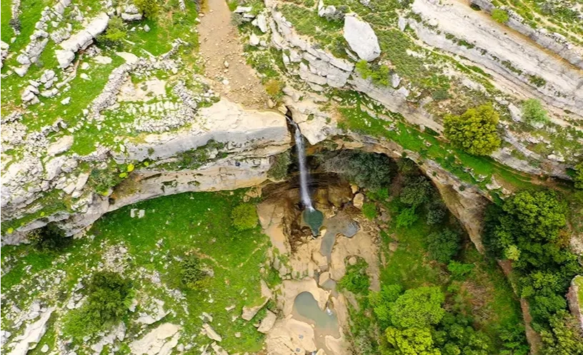
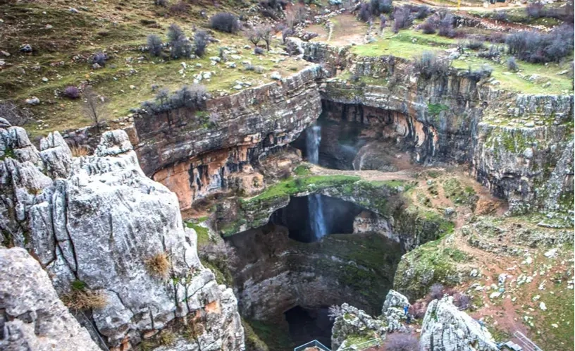
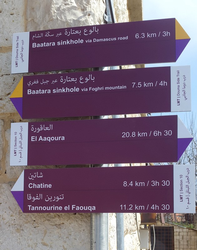
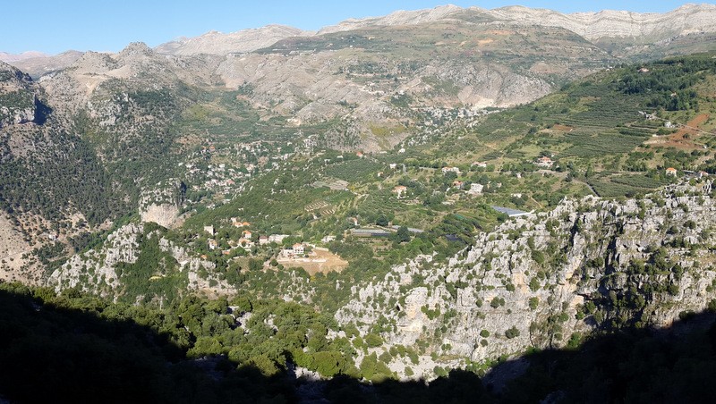
The Douma side trail is a loop. Both ends begin in Douma square and end in the natural site of Baatara Sinkhole. One segment of the trail follows the Damascus Way, known in Arabic as “Sikket el Sham”, the ancient trade road that once linked Damascus to the coast of Lebanon via Douma. The other segment climbs through Foghri mountain. To go from Douma square to Baatara Sinkhole via “Sikket El Sham” (Damascus Way), head north east to the olive press. Take the footpath then the paved road to reach Ain Aakfol. Continue north east for about 4km. Climb the stairs of “Sikket el Sham”. Follow the blazes through “Jouret el Maqtoul” plain and along the mountain ridge to the highest point on this segment of the trail. Enjoy the scenic view of the highlands of Tannourine and Laqlouq. Walk downward on a well delineated path for about 1km to reach the natural site of Baatara sinkhole. At this point, you can either head back to Douma toward the village of Chatine, or continue on the trail to El Aaqoura. To go from Douma square to Baatara Sinkhole via Foghri mountain, follow the main village road to reach Douma Club. At the club, turn right and climb toward Foghri mountain. Continue to Ain El Faouqa, el Melki tomb and the cherry orchards. Follow the blazes through El Ghommas plain to the highest point on this segment of the trail. Enjoy the panoramic views of the highlands of Tannourine and Laqlouq. Continue your hike on a karstic path, until you reach the intersection with LMT section 10 linking Tannourine to El Aaqoura. Walk south to reach the natural site of Baatara Sinkhole. At this point, you can either head west back to Douma or follow the trail to El Aaqoura.
Important to know
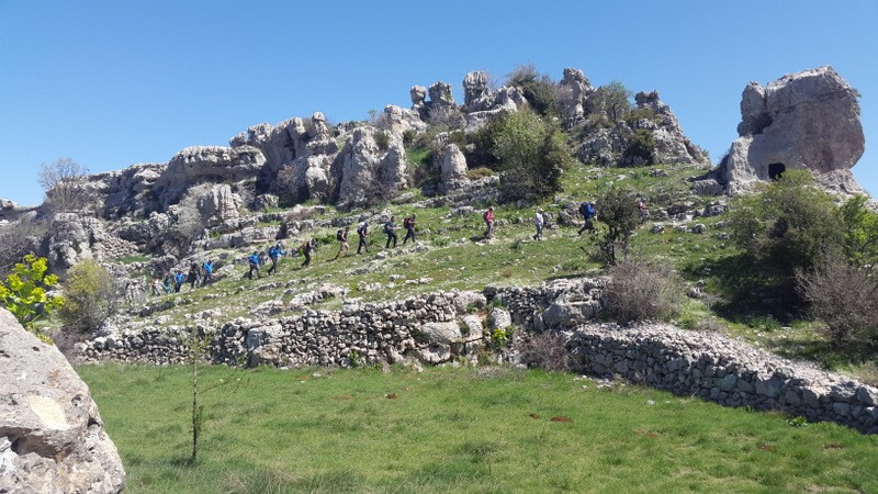
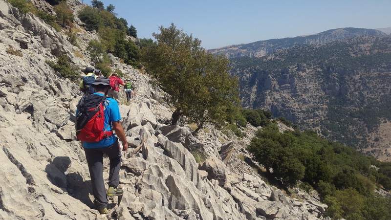
- There are some slippery passages and steep descents along this section; the trail consists of dirt and paved roads, footpaths, goat trails.
- This section is completely marked.
- If you plan to walk alone, please inform the LMTA about the dates of your trip at [email protected] and ask for the GPS track.
- For your stay, contact the guesthouse or the guide few days before you start your trip.